7/23/15 - William Brien Memorial shelter
There were again at least 25 tents at Wildcat shelter last night. It made it difficult to go to the privy without disturbing people at night because you had to walk right next to the tents.
I headed out at 6:30 or so again, aiming 14 miles to Fingerboard shelter. The shelter has no water source, but I was counting on streams before it. Unfortunately, they also were dry. So I struggled on to this shelter, for a total of 19.6 miles. Only to find that it's water source has also gone dry. Fortunately, about two miles earlier at the bottom of the ridge I crossed a flowing creek that had minnows swimming in it. So I filtered a gallon, drank one quart and packed the other three up the ridge. Wore me out, but I have enough water for supper, breakfast and to carry me ten miles to town tomorrow.
The ridge top near Fingerboard shelter is covered in blueberry bushes and the berries were ripe. So I spent some time harvesting. Yum!
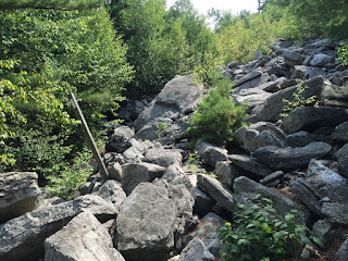
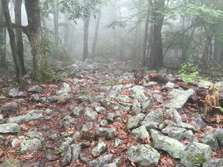
I got to camp about six this evening. A little slower today than usual, but the rock scrambles today were awful. The trail is tending East, so the last week has been up and down roller coaster style hiking. Most of the folks from last night still aren't here. So far eight or do have hiked through because they didn't get water. Tiger Mike, Recalc, Scientist and Cold Blood are here.
The shelter is being renovated, so we're all tenting. I hung my food even though I suspect that with the shelter gone there isn't enough food smell around to attract a bear, but why take chances.
Today I passed the 1389 mile marker. That means I have now less than 800 miles to complete, with at least 67 days before Baxter SP closes. I am really starting to feel I can complete my thru hike!
7/25/15 - Fort Montgomery
I slept very hard night before last, yet still woke up at five. My feet were pretty sore in the morning but it was only eleven miles to town son off I went.
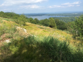
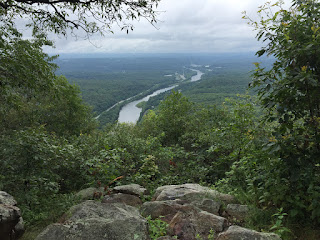
From the next three peaks past William Brien shelter you can see the New York City skyline through the haze.
Crossing the Palisade Parkway is a pain. Traffic is heavy and moving fast. I had to wait about five minutes one each side to get a break between cars. Cold Blood wrote in the journal stored in a box in the median that shed nearly had a 'Come to Jesus' moment when it seemed a driver tried to run her down.
On the top of Bear Mountain is the Perkins Memorial Tower, and the trail is fantastic. Stone steps of the right size and height, fitted stone pathways, bridges made by Eagle Scouts. All of this is because it's not just AT hikers on the trail, but tourists. There are very clean Portajohns and vending machines. I got my best view of NYC from the overlook and then Soda and I headed for the bottom and the Hudson River.
Bear Mountain Recreational Area has a deli, concession stands, restrooms, a large picnic area, boating on Hessian Lake and the Bear Mountain Zoo. The zoo is an old style zoo and pretty pathetic. There's a statue of Walt Whitman and a Revolutionary War museum as well. Fort Montgomery is on the South side of the Hudson River, and faced Fort Clinton on the north side. The two forts guarded an iron chain to stop shipping on the river. The British took both forts during the war, but failed to divert American troops from the Battle of Saratoga.
Soda headed North across the bridge, while I called the Bear Mountain Bridge Hotel for my pickup ride.
Today has been a good zero, my feet feel a bit better. Tomorrow will be another long day though, to Fahnestock State Park and a tent site. And it's supposed to be thunderstorms tomorrow evening, then wicked heat the rest of the week. Here we go again!


